
Conservation Commission
New London, New Hampshire 03257
Trails
Shepard Spring Trail
| Trail Number: | 24 | Trail Length: | .5 Mile Loop |
| Difficulty: | Easy | Trailhead GPS: | |
| Trail Adopter: |
Trail Description
This short woodland loop has many impressive pine trees and
passes Shepard Spring, the source of Chandler Brook. The half mile loop trail to Shepard
Spring is shown across Mountain Road from the Davis Path on the
Low Plains map below.
Parking is available along Mountain Road. All trails in the Esther Currier Wildlife Management Area,
known as Low Plain Trails may be accessed from the parking area (P) off Route 11
or from a parking area (P) on Mountain Road. A
brochure
with Low Plains Trails map is available here and at the Route 11
entrance. The main trail is named the Davis Path. It is a gated
gravel road that runs between Route 11 and Mountain Road. Side
trails go to an overlook and to observation blinds along the
edge of Beaver Pond. A quaking bog may be viewed from a
boardwalk on the trail to the Marsh Point blind (not passable at
high water). A high water detour is also available for the Davis
Path. A geological exhibit (boulder collection) and a salamander
pool are visible from the Davis Path. The Davis Path is 1.1
miles in length (one way).
- See Map Below or
Return to Main Trails Page.
Trail Map

Elevation Information
Not available
Photos

Shepard Spring - Photo by Peter Brodeur
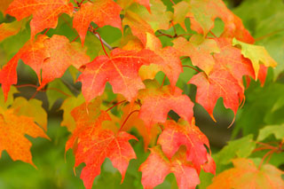
Fall Colors - Image Courtesy of Microsoft