
Conservation Commission
New London, New Hampshire 03257
Trails
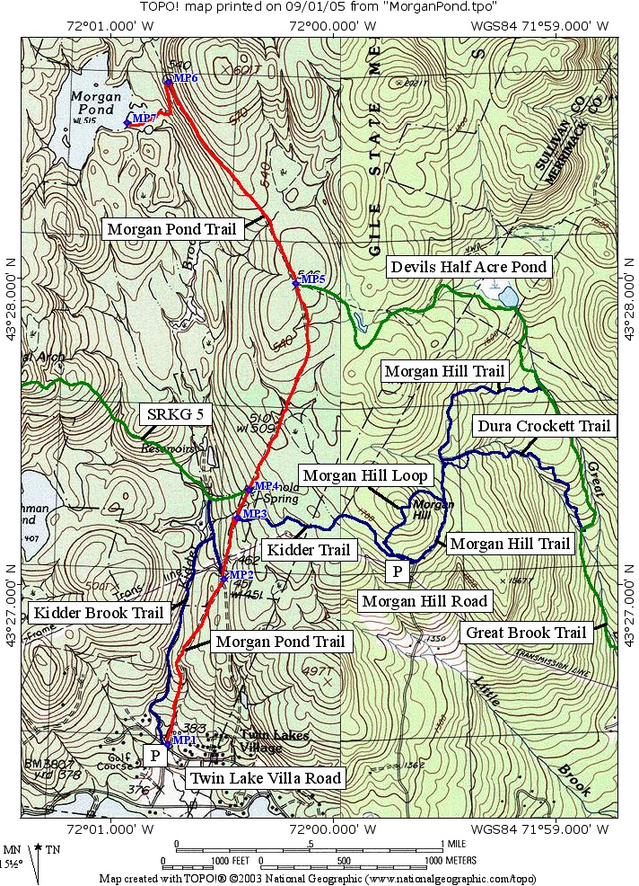
Morgan Pond Trail
| Trail Number: | 20 | Trail Length: | 3 Miles (one way) |
| Difficulty: | Moderate | Trailhead GPS: | |
| Trail Adopter: |
Trail Description
The Morgan Pond Trail is a good trail for
cross country skiing. The Morgan Pond Trail (red
on the map) leaves the Twin Lake Villa Road east of the parking
area and Kidder Brook bridge (at waypoint MP1). It ascends along
Perley Road (gated) for 2.8 miles to a side road (MP6) which it descends
to Morgan Pond dam (MP7). The trail provides access to a cart
road which provides a loop with the
Kidder Brook Trail (MP2), the
Kidder Trail (MP3), and to the
Greenway which uses the trail
between locations MP4 and MP5 (SRKG
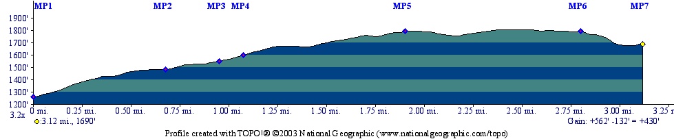
Trail 5). The Morgan Pond Trail rises nearly 600 feet to the
high point above Morgan Pond. The distances on the profile are
measured from Twin Lake Villa Road.
- See Map Below or
Return to Main Trails Page.
Trail Map
Elevation Information
Photos
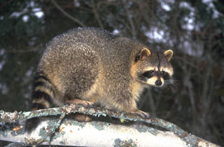
Raccoon - Image Courtesy of Microsoft